» » »Existing
» » »Project
» » »Potential
Greenway Maps
» » »by Agency
» » »by Scope
Community Systems
» » »Active
» » »Typical
» » »Sedentary
» » »Dead-end
Grade Separations
» » »Existing
» » »Needed
Trail Development

a web-based Geographic Information System
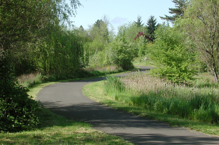
To develop a system all land- and water based resources must be assumed to have trail potential.
National Trails Agenda Project - 1990
This website provides resources to public officials, planners, and trail-users to assist their efforts in implementing a network of greenways and trails in the Chicagoland area. Our roadways are a major deterrent for people to venture out any great distance from their homes without driving. Greenways allow people to travel across the region unimpeded by the dangers and delay of automobile traffic. Communities that plan and build greenways that connect with surrounding areas end up greatly improving the quality of life for their residents.
 |
 |
 |
 |
 |
 |
It is at the local, community level where successful trail networks begin.
A bike is an ideal compromise between walking and a car. A bike triples the speed of walking yet doesn’t zoom over the landscape, so that what is passed isn’t passed unseen.
Cycle trails will abound in Utopia.