About Greenway Planning Database
The Greenway Planning Database is an web-based application for the management and analysis of greenway and trail planning data. It was designed by Steve Breese for the purposes of promoting the development of greenway trails throughout the Chicago area. This interactive web application organizes and links together the critical elements necessary to develop greenways:
- Bikeway/Trail/Greenway Plans & Maps
- Trail Corridors
- Communities and their Agencies
- Physical Barriers
- Trail Development News
- and More!
What is a greenway?
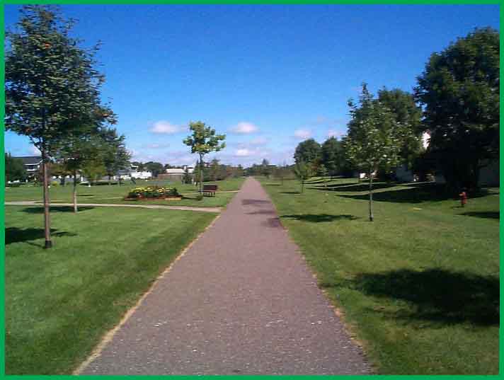
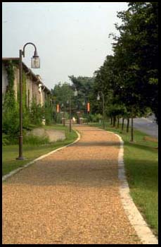 A greenway is a linear corridor, on land or water, with protected status and public access for recreation or transportation. Greenways can be used to preserve open space, provide a natural respite in urban areas, limit soil erosion, and buffer wetlands and wildlife habitat along waterways.1
Technical definition used in Greenway Planning Database analyses: A stream, railroad, utility, or other non-highway linear corridor containing a pedestrian path or multi-use trail.
Greenway Opportunities
| Types of Greenways | |
|---|---|
| Rail-to-Trails | |
| Rail-with-Trails | |
| Waterways | |
| Utility Right of Ways | |
| Ridgelines | |
Railroad, streams, and utility corridors are ideal for trail development because they already have limited roadway crossings. Where highway barriers do exist, overpasses and underpasses can be built during highway reconstruction for only a marginal cost. Residential and commercial redevelopment take place all the time along these corridors. When this happens, it is critical that our public officials ensure that a narrow strip of land is preserved to allow for the future development of a greenway trail.
For a better understanding of greenways, please read "Greenways, Those long, skinny, green parks" from Illinois Parks & Recreation magazine.
Geographic Information System
The Greenway Planning Database is a true GIS. Most tables stored in the database contain a geometry field. Each row contains a geographic shape and attributes about that shape. For example, a line represents a trail segment, a polygon represents the boundaries of a community.Most data is edited in ArcMap. After making changes, I run scripts that convert the data format from Geodatabase to Shapefile to MySQL. If the user browses the data on the Interactive Map, the data is converted on-the-fly to Google Map Overlays format.
 |
➠ |  |
➠ |  |
➠ |  |
➠ | ➠ |  |
|
The Many Technologies Utilized by the Greenway Planning Database
The first "version" if the Greenway Planning Database was composed of simply 3 HTML webpages. However, since then, I have constantly come up with new ideas for expanded data, improved functionality and informative analyzes. I taught myself a myriad of web technologies to meet the challenges. (via W3 Schools, Tech on the Net & PSOUG.org) With the expanding site, more of my free time was required to maintain and update the content. To compensate, I often find or write scripts to automate repetitive tasks. Now if a trail user alerts me to a missing trail segment or a new bikeway plan, I am able to get the site updated in a matter of minutes.Web Technologies YOU are experiencing
- HTML - markup language
- CSS - content formatting
- PHP - server-side scripting language
- JavaScript - client-side scripting language
- MySQL - GIS enabled database
- Google Maps API - web mapping
- XML - used to transport GIS data between MySQL and Google Maps API
- AJAX - a technique used to make the Greenway Planning Database a faster and more interactive web application
- .htaccess - URL Rewriting, Hotlinking prevention, File Not Found error handling
Software used for Data Editing
- ESRI ArcGIS 10 Desktop
Scripting environments used for ETL (Extract, Transform, Load)
- ArcScript (adds X Y coordinates to attribute table) {Programming Language: Visual Basic} [run via customized UI button]
- ModelBuilder (File Geodatabase > Shapefile) {Programming Language: Python} [run via customized UI button]
- MS-DOS batch File (Executes shp2mysql which converts Shapefile into MySQL Spatial) {Programming Language: DOS} [run via Windows Shortcut]
- Adobe ExtendScript (creates icons from maps exported from ArcMap) {Programming Language: JavaScript)} [Run via customized Photoshop menu command]
Software used to prepare Map Downloads
- PDFCreator (PDF printer. Be sure to opt-out of toolbar installation.)
© Steve Breese
Contact Steve
»»»»»
Greenway Trails
» » »Existing
» » »Project
» » »Potential
Greenway Maps
» » »by Agency
» » »by Scope
Community Systems
» » »Active
» » »Typical
» » »Sedentary
» » »Dead-end
Grade Separations
» » »Existing
» » »Needed
Trail Development
» » »News
» » »Events
Greenway Advocacy Materials
Bicycle Underpass/Overpass Gallery
About Greenway Planning Database
About Steve Breese
PalatineRoad.com
Contact Steve Breese
Greenway Links
ArlingtonTrotters.com
Fast Track Racing Team
COGO
Technical Corner